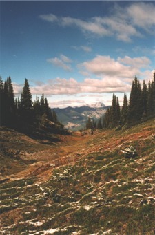
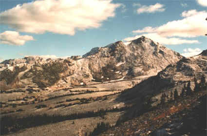
Duchastel Hut (aka Tom's Cabin)
Time to Complete: 1 day
Trail difficulty: difficult
Trail rating: 4.0 out of 5
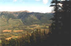
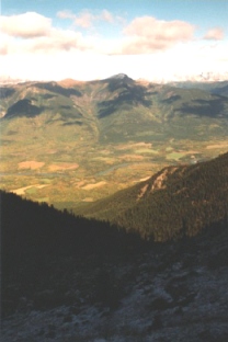
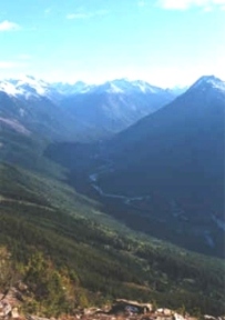
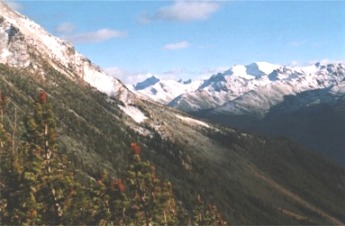
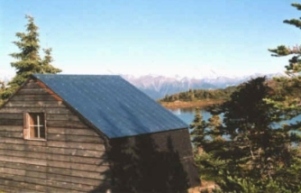
For those of us who have never hiked into the alpine above Dunster, these photos should serve as sufficient inspiration! The hut, locally known as Tom's cabin, was built by Tom and Andrea Duchastel on Bob Lake in 1981. The trail departs from the gravel pit at the end of Pepper Pit Road. Allow 3-6 hours to reach the hut.
Go straight up the mountain, very steep in some places, until you hit a big skree slope with a marked trail across it, go across around into a valley with a beautiful lake and two peaks on either side. There is a small cabin with bunks and other accessories making for a great day hike or camping trip. Lots of explorable terrain.
All photos courtesy of Eileen Palmer and Taylor Bachrach.
Dunster at a glance
The size of a normal computer screen can't do this panorama justice.
For a larger image (347K), click on the picture (yes, you might be able to actually find your house on it).
Or click on one of the pictures below for larger versions of the individual pictures that make up this panorama.
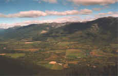 |
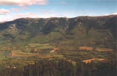 |
One more view of Dunster from the trail
(Click on the picture for larger image)
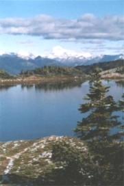
Whitehorn and Mount Robson Click on the picture for larger image (315K)
|
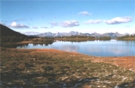
Looking north from Bob Lake Click on the picture for larger image (253K) |
Looking south up the Raush River from Click on the picture for larger image (249K) |
Raush valley and Premiere Range from Mt. Thomas Click on the picture for larger image (269K)
|
Cabin and Bob Lake Click on the picture for larger image
|
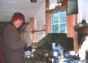
Inside the cabin Click on the picture for larger image
|
Along the trail, looking north Click on the picture for larger image (249K)
|
Looking south into the Valley of Five Creeks, Click on the picture for larger image
|
Page last updated December 28, 2010
Home || Community || Events || Bulletin Board || Local Services || Gallery || Weather || Road Report || Links
Dunster History || Dunster Place Names || Where in the World is Dunster || Community Groups
Dunster Community Hall || Dunster General Store || Dunster Train Station || Dunster Fine Arts School || Croydon Cemetery
Thank you for visiting the Dunster Community Website!
Web design by Birgit Stutz
Site hosted by

